Please update your browser

You are using old browser version, which is not technically supported. That way some functions maybe are not available or aren't working right. Using information bellow please update or use another browser.

Free browsers - all browsers provide the same base functions and are easy to use. Choose which browser do you want to download:

  • Bringing neighbours closer

    Bringing neighbours closer

    Welcome to the Interreg V-A Latvia–Lithuania Programme 2014–2020!

    About the programme
  • Bringing neighbours closer

    Bringing neighbours closer

    Welcome to the Interreg V-A Latvia–Lithuania Programme 2014–2020!

  • Bringing neighbours closer

    Bringing neighbours closer

    Welcome to the Interreg V-A Latvia–Lithuania Programme 2014–2020!

Initial Survey

20 January 2021

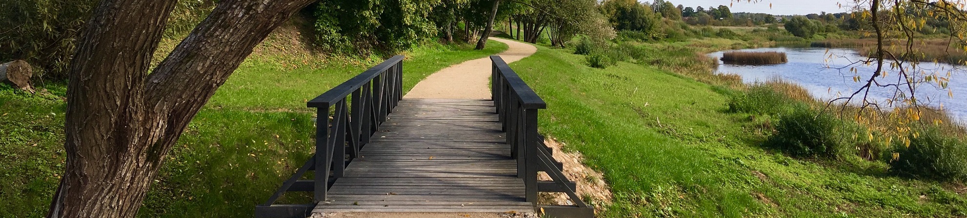
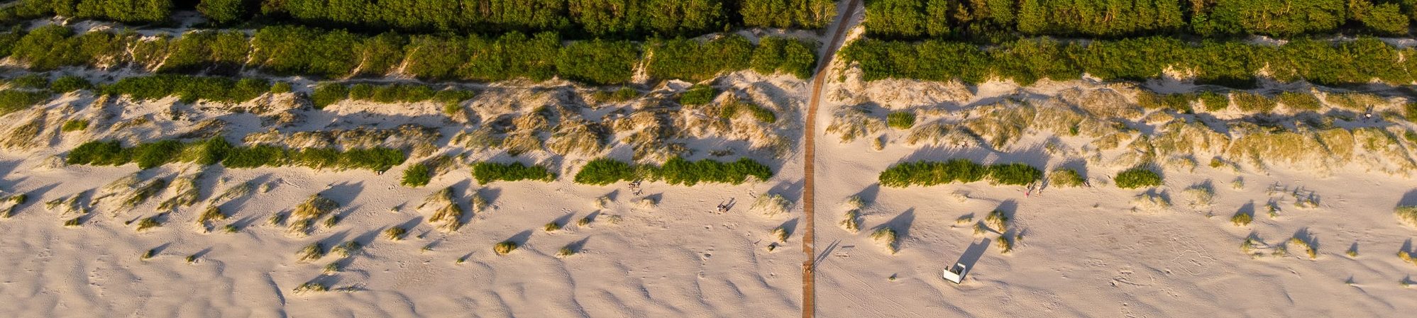
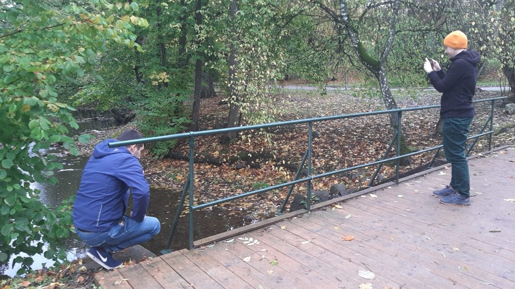
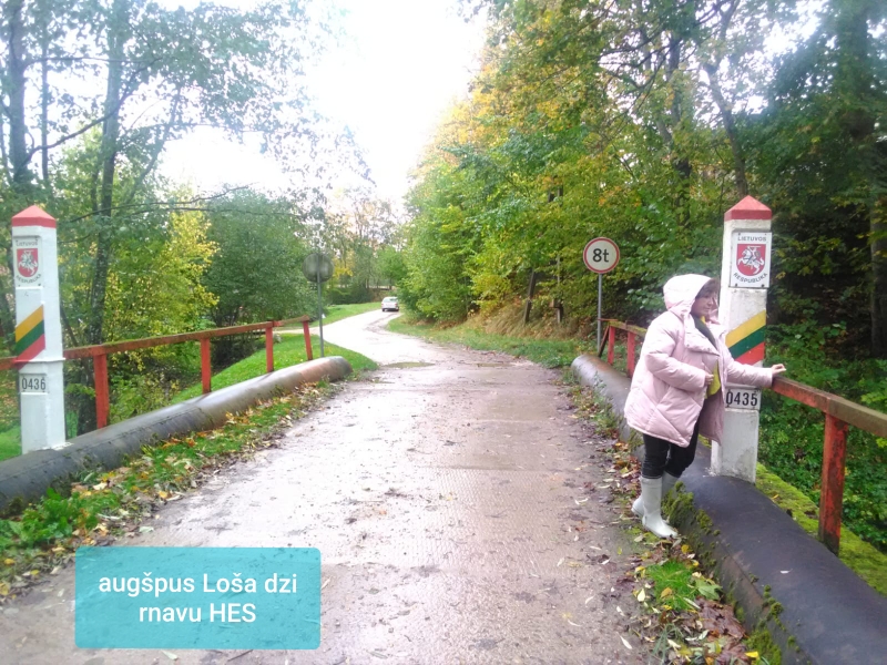
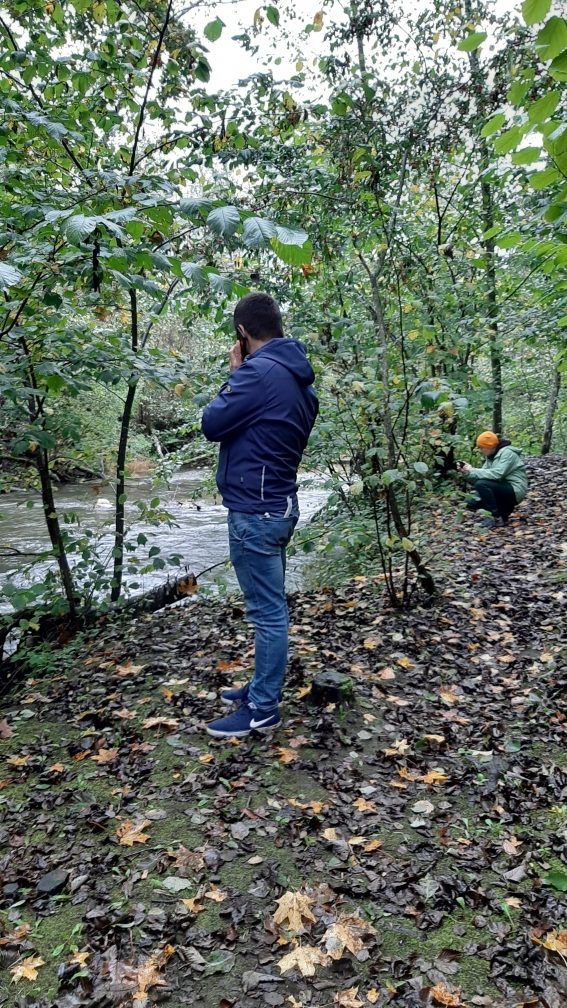
The Initial Survey has been carried out on Ciecere and Losis rivers in order to select measurements sites in 15 October 2020.

As a result 3 places have been selected on Ciecere River for water level and water discharge measurements: upstream Ciecere HPP nearby lake Ciecere, between Ciecere and Dzirnavnieki HPPs in Saldus town and downstream Dzirnavnieki HPP. On Losis River has been selected 3 places as well: upstream Grantini HPP, between Grantini and Lejnieki HPPs and downstream Lejnieki HPP. Water level data loggers will be install in all above mentioned places.

Last updated: 02.05.2024 18:28