Please update your browser

You are using old browser version, which is not technically supported. That way some functions maybe are not available or aren't working right. Using information bellow please update or use another browser.

Free browsers - all browsers provide the same base functions and are easy to use. Choose which browser do you want to download:

  • Bringing neighbours closer

    Bringing neighbours closer

    Welcome to the Interreg V-A Latvia–Lithuania Programme 2014–2020!

    About the programme
  • Bringing neighbours closer

    Bringing neighbours closer

    Welcome to the Interreg V-A Latvia–Lithuania Programme 2014–2020!

  • Bringing neighbours closer

    Bringing neighbours closer

    Welcome to the Interreg V-A Latvia–Lithuania Programme 2014–2020!

LLI-206 Creation of Joint GI Education to Increase Job Opportunities in the Region (GISEDU)

Nowadays no specialist or business organisation (related to the environment) can ignore the importance of GIS opportunities for the professional process planning, management and monitoring of the implementation of activities. In the near future GIS capabilities for systems and its’ influence will only grow: improving hardware tools, thus in particular increasing the accumulated and acquired spatial data volumes and their quality. Professionals and workers with no knowledge of GIS and the available data application possibilities will not be competitive in labour market.
Therefore this Project aimed to increase job opportunities and work force mobility, to develop new GIS competencies matching labour market needs in the region and to improve Joint GI education services and training available. Specialists with better skills working in the Programme region, increased its’ competitiveness. Employable people will see the region as an attractive place for working and settling down.
Project produced these outputs: trainers (lecturers) increased their qualification with up to date GI knowledge, two improved GI competencies centers for joint use were created in the region and opened for public use. Students have participated in the GIS training  in Klaipeda and Jelgava GIS competencies centers. Over two hundred trainees have participated in Joint Training during the project. Students, employees, business organisations and also local community has and will benefit greatly from this project. Two study handbooks were created to allow adults to increase their GIS competencies to match labour market needs.
This project was cross- border, as it is cost effective and most effective way. Implementing a project with transnational partners has helped to obtain reliable results, share good experience, thus it  helped to spread the information about the project‘s outcomes widely. Learning what is needed in both countries has enabled students, professionals and community to get the best experience and will allow them to become more employable. For Joint GIS Training workshops and seminars were organized in the participating organisations. Project outcomes connect people in the region for common training and research purposes.

Social media and contacts:
Phone: +37064024319
E-mail: e.hidri@kvk.lt
Website: www.kvk.lt
Address: Jaunystės g. 1,LT-91274 Klaipėda

30 August 2019

Tarptautinė projekto GISEDU (LLI-206) konferencija Klaipėdoje

“Jungtinių geografinių informacinių sistemų (GIS) mokymų sukūrimas įsidarbinimo galimybėms gerinti regione” (Projekto numeris: LLI-206)

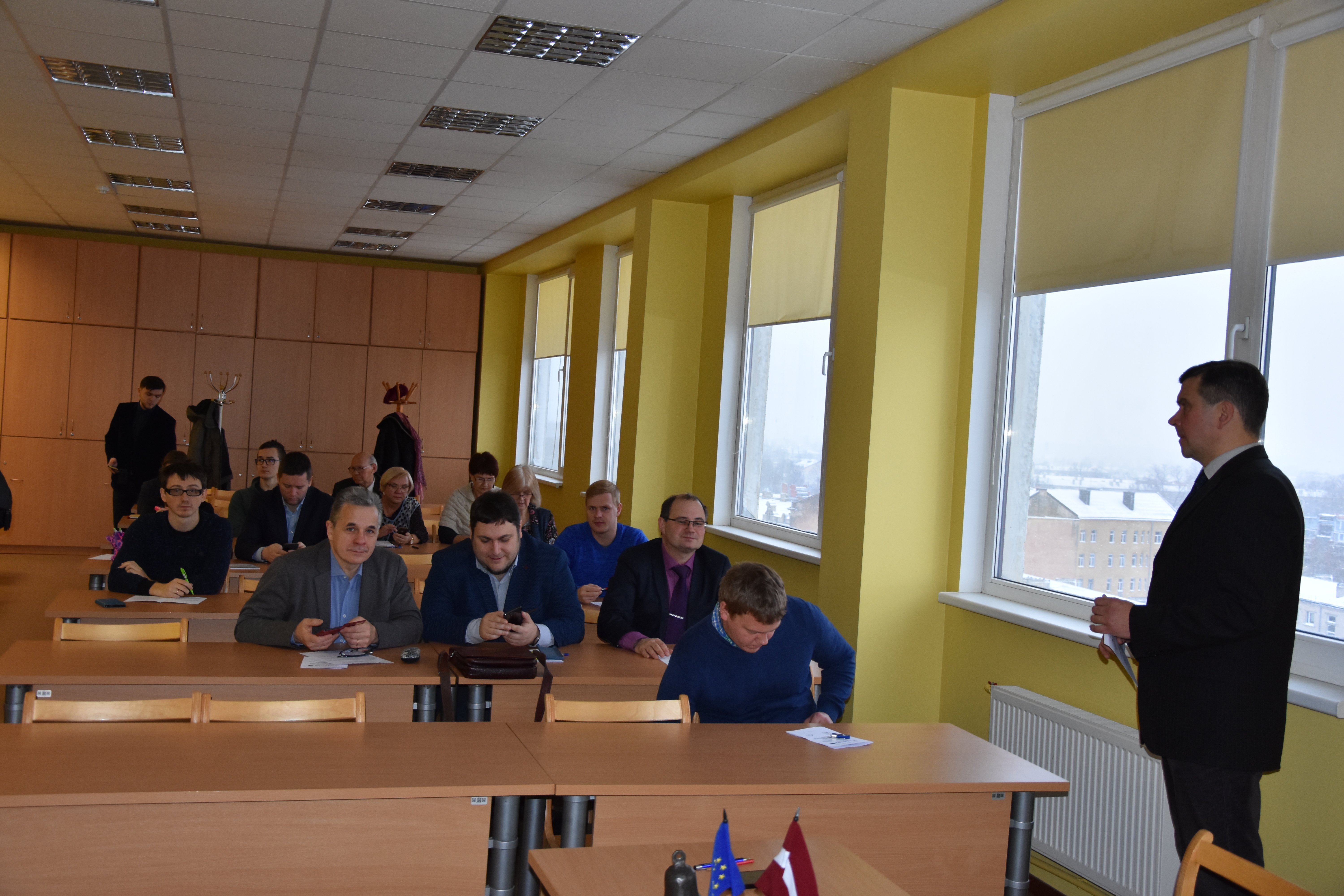
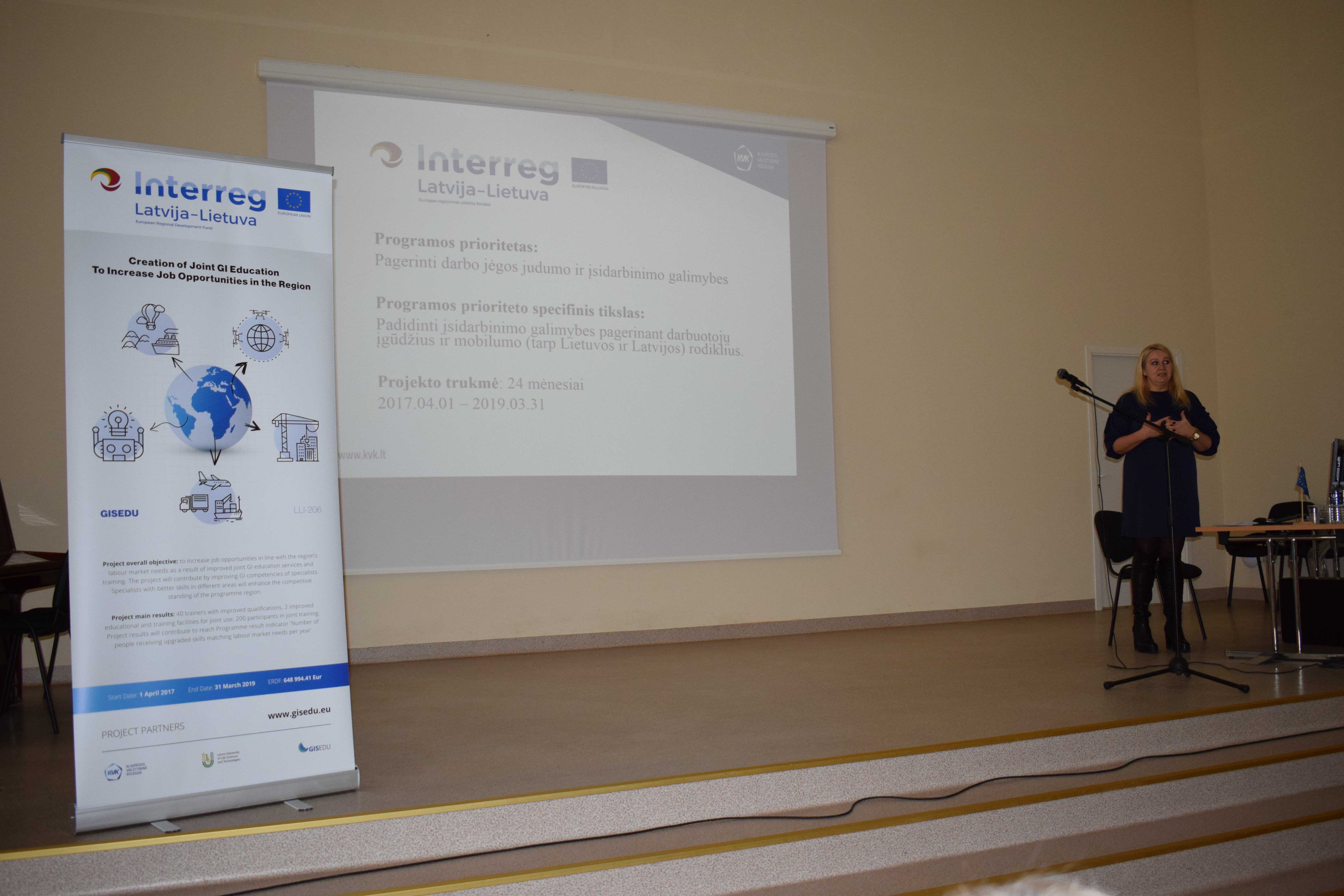
Kovo 26 dieną Klaipėdos valstybinės kolegijos  Technologijų fakutete įvyko tarptautinė konferencija, kurioje projekto organizatoriai iš Lietuvos ir Latvijos pristatė “Jungtinių GIS mokymų sukūrimo, įsidarbinimo galimybėms gerinti regione” (sutrumpintai -GISEDU) projektą.

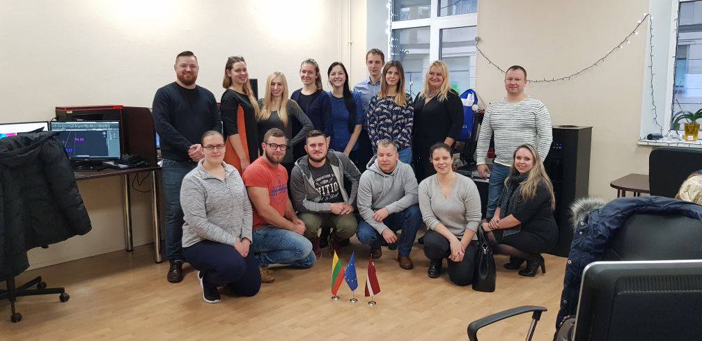
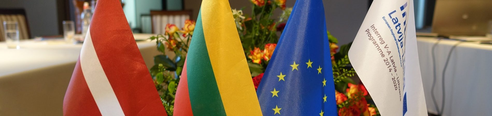
Europos Sąjungos tarptautinė 2014–2020 m. Interreg V-A Latvijos ir Lietuvos bendradarbiavimo per sieną programa finansuoja ir vysto bendradarbiavimą tarp valstybės sienų, todėl kaip projekto partneriai projekte dalyvavo Klaipėdos valstybinė kolegija (KVK) ir Latvijos gyvybės mokslų ir technologijų universitetas (LLU).

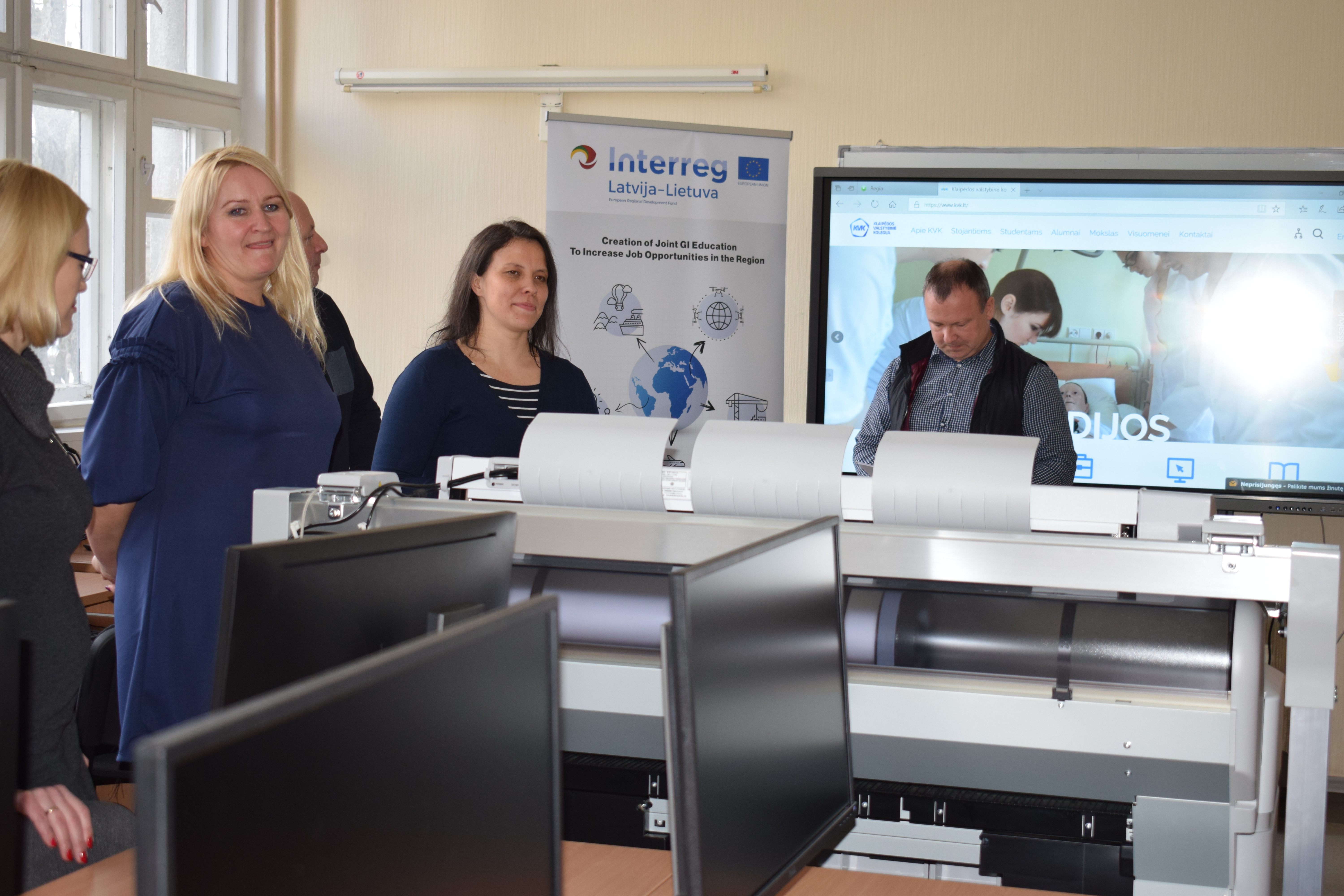
ES šiam projektui skyrė 648 tūkst. eurų. Už šias lėšas įsteigti 2 GIS kompetencijų centrai Klaipėdoje bei Jelgavoje. Taip pat įsigyta daug inovatyvios kompiuterinės technikos: darbo stočių – kompiuterių, daugiafunkcinių ir plačiaformačių bei 3D spausdintuvų, keletas naujausios kartos programinės įrangos paketų (Arcgis, Bentley Microstation, Pix4D, TerraSolid ir kt).

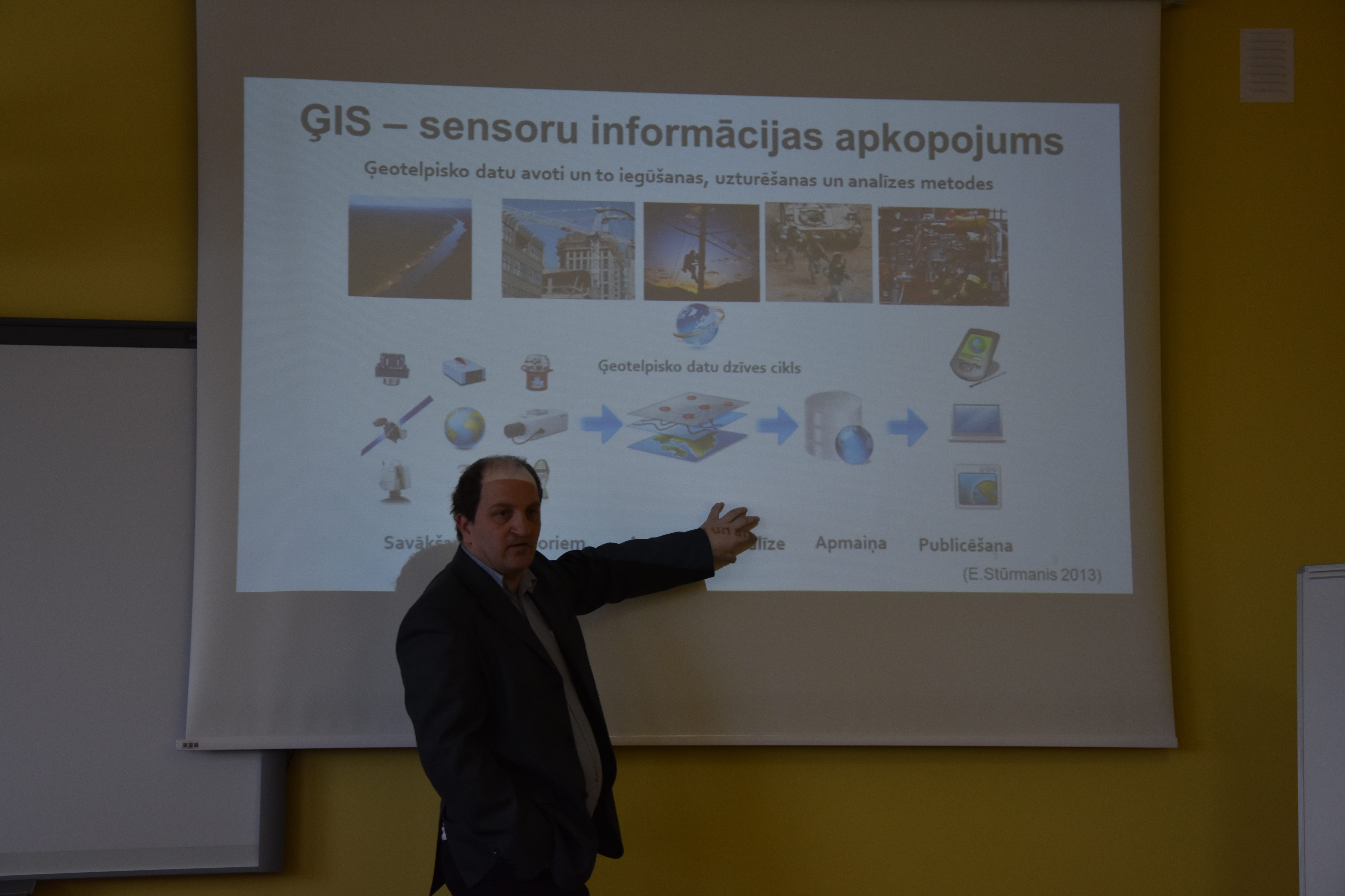
Konferecijoje GISEDU projekto koordinatorė, KVK Technologijų fakulteto Aplinkos ir statybos inžinerijos katedros vedėja, Dainora Jankauskienė, GISEDU projekto ekspertai, KVK lektoriai Indrius Kuklys ir Lina Kuklienė auditorijai pristatė pasiektus projekto rezultatus bei atsivėrusias naujas galimybes taikant inovatyvią įrangą.

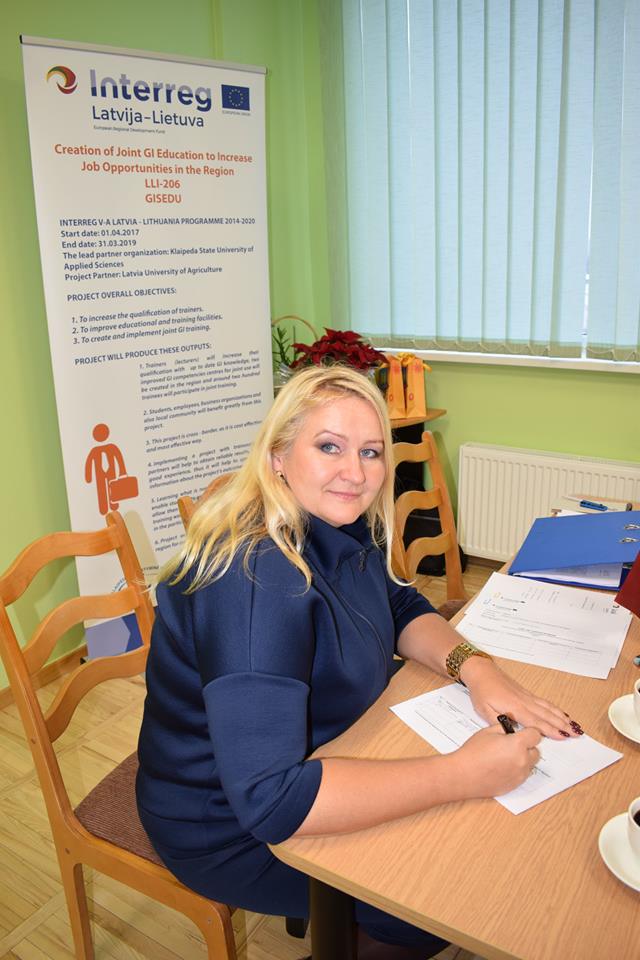
“Šiuo projektu siekiama padidinti įsidarbinimo galimybes ir darbo jėgos mobilumą, plėtoti naujas GIS kompetencijas, atitinkančias darbo rinkos poreikius regione ir pagerinti švietimo paslaugas bei mokymo kokybę. Regione, kuriame vykdytas projektas, gyvenantys bei dirbantys specialistai, įgis geresnius darbo su informacinėmis sistemomis įgūdžius, pagerins savo konkurencingumą darbo rinkoje. Regionas taps patrauklesne vieta dirbti ir įsikurti darbingo amžiaus žmonėms,” – apie pagrindinį projekto tikslą pasakojo GISEDU projekto vadovė, KVK Projektų skyriaus specialistė Eglė Hidri.

GISEDU projekto koordinatorė, KVK Technologijų fakulteto Aplinkos ir statybos inžinerijos katedros vedėja, Dainora Jankauskienė teigė, kad šis projektas KVK suteikė galimybę atsinaujinti įrangą, su kuria nuo šiol galės dirbti dėstytojai, studentai bei regiono gyventojai.

“ Projektas GISEDU apėmė ir dėstytojų kvalifikacijos tobulinimą. Daugiau nei 50 dėstytojų iš Klaipėdos valstybinės kolegijos ir Latvijos gyvybės mokslų ir technologijų universiteto (LLU), turėjo galimybę įgyti kompetencijų darbui su išmaniosiomis technologijomis; buvo peržiūrėta ir inovatyviems iššūkiams pritaikyta 40 studijų dalykų iš Skaitmeninės geodezijos, Statybos inžinerijos, Turizmo verslo, Elektros ir automatikos inžinerijos bei Transporto logistikos studijų programų. Mūsų partneriai, kuriems reikalinga skenavimo duomenų informacija taip pat turi galimybę išmokti bei išbandyti turimą įrangą Klaipėdos valstybinės kolegijos GIS kompetencijų centre. Paruošti mokymų paketai, kurie greitu laiku bus prieinami internete ”, – pasakojo D. Jankauskienė.

Projekto GISEDU įgyvendinimas kartu su užsienio partneriais padėjo pasiekti norimų rezultatų, dalintis gerąja patirtimi, taip pat plačiau skleisti informaciją regione apie galimybes pasinaudoti šio projekto rezultatais.

“Kolegos iš Latvijos konferencijoje pasidalino savo patirtimi įgyvendinant projektą, tobulinant studijų programų dalykus, rengiant mokymų medžiagą, įsisavinant naujomis technologijomis pagrįstą matavimų bei programinę įrangą. Bendradarbiavimas ir pasikeitimas turima patirtimi paskatina naujus mokslinius tyrimus bei modernias studentų baigiamųjų darbų tematikas aktualias regionui.  Projekto rezultatai suteikia galimybę vykdyti įrangos mainus tarp projekto partnerių: Klaipėdos valstybinės kolegos ir Latvijos gyvybės mokslų ir technologijų universiteto. Inovatyvi matavimų ir programinė įranga aktyviai naudojama jau pradėtuose rengti baigiamuosiuose darbuose, kurių rezultatai bus prieinami suinteresuotoms regiono savivaldos institucijoms, įmonėms bei organizacijoms”, – sakė D. Jankauskienė.

Daugiau apie projektą GISEDU galima sužinoti internetiniame puslapyje  www.gisedu.eu.

Šis straipsnis parengtas naudojant Europos Sąjungos finansinę paramą. Už šio straipsnio turinį atsako Klaipėdos valstybinė kolegija. Jokiomis aplinkybėmis negali būti laikoma, kad jis atspindi Europos Sąjungos nuomonę.

Read more
22 February 2019

LLI-206 GISEDU project’s conference in Klaipeda

Klaipėda State University of Applied Sciences seeks new heights in the field of GIS innovations and the use of unmanned aircraft


On the 14th of February, at Klaipėda State University of Applied Sciences, Faculty of Technologies, project’s GISEDU conference was held, during which the purchased equipment and its possibilities were presented. Project “Creation of Joint GI Education to Increase Job Opportunities in the region (GISEDU, Nr. LLI-206)”, funded by Interreg V-A Latvia – Lithuania Programme 2014-2020, has been particularly important for the academic community and enterprises in the region for the last two years. Also, the municipalities of Klaipėda, Tauragė, Šilalė, Kretinga, Neringa and Palanga were introduced to the project activities, which in the future will benefit from GIS innovations in planning and better management of their districts and cities.

The above-mentioned EU program finances and develops cooperation between the state borders, therefore Latvian University of Life Sciences and Technology (LLU) has been chosen as a partner. GISEDU project and its results were also presented to the representatives of the municipalities of Zemgale, Kurzeme and Latgale in Latvia. European Union has allocated 648 000 Euros for this project. For this amount, 2 GIS competence centers were established in Klaipėda and Jelgava. Also many up-to-date modern computer hardware (such as workstations-computers, multifunctional and wide-format and 3D printers) and some of the next generation software packages (Arcgis, Bentley Microstation, etc.) were purchased.

The students and managers of geodetic companies have been attracted by a huge unmanned aircraft that can scan and digitize large areas within minutes, and transfer data to computer storage to recreate 3D images of areas with incredible small details such as grass clogs or pavement blocks. The project funded purchases of laser scanners, which can scan the environment or a specific building at speeds of up to 20,000 to 40,000 points per second. This state-of-the-art equipment creates a ‘cloud of points’ that penetrates even through plant foliage and measures not only the area, but also the facades (walls, windows, doors, etc.) of the houses behind the trees, within a few centimeters of accuracy. For comparison, it is enough to say that Lithuanian geodesy companies are still working in a classical – manual way, where people with available measuring equipment can record only individual points of the object and spend much more working time.

GISEDU project also included teachers training. More than 50 teachers from the Klaipėda State University of Applied Sciences and Latvian partner had the opportunity to acquire competencies for working with intelligent systems innovations. 40 study subjects were renewed for new technological challenges. Expert, responsible for the technical part of the project, Indrius Kuklys, told about the experimental works carried out: 120 sculptures of Klaipėda Sculpture Park were scanned and digitized; the results can be seen on the website www.regia.lt. Practical work has also been carried out in the city of Šilalė, where D. Poškos Baubliai Museum and the park nearby were digitized. These tests indicate the infinite possibilities of the latest geodetic equipment and wide application not only in cartography, construction sector or other kind of business, but also in public life, promoting tourism and cultural objects.

The conference was attended not only by the teachers and students of Klaipėda State University of Applied Sciences but also by representatives of various companies and organizations. We also had invited guests to shared their experiences. Head of Geodesy and GIS Division of Klaipėda City Municipality specialist Marija Buivydienė, Palanga City Municipal Architecture and Territorial Planning GIS Analyst Mindaugas Valaitis and Klaipeda University Researchers – dr. Eduardas Spiriajevas and Viačeslav Jurkin delivered presentations on the various ways and innovations of modern mapping technologies.

The equipment, purchased with the funds of the project, is the most modern in Lithuania today and no other higher school has such an equipment. We are pleased that we can contribute to geodesy innovations, collaborate with various companies and create an attractive learning environment.

More about the project can be found at www.gisedu.eu.


This publication has been produced with the financial assistance of the European Union. The contents of this publication are the sole responsibility of Klaipeda State University of Applied Sciences and can under no circumstances be regarded as reflecting the position of the European Union.


Read more
8 January 2019

LLI-206: Scientific-practical conference “Geospatial information in education and practice” in Jelgava

On January 4, at Latvia University of Life sciences and Technologies, Faculty of Environment and Civil Engineering, Department of Land Management and Geodesy was held scientific-practical conference “Geospatial information in education and practice”. This conference was dedicated to Interreg V-A Latvia – Lithuania project LLI-206 “Creation of Joint GI Education to Increase Job Opportunities in the Region (GISEDU)”

In the conference were presented 9 topics:

  1. Objective, tasks and results of Interreg Latvia-Lithuania Cross Border Cooperation Program Project LLI-206 “Creation of Joint GI Education to Increase Job Opportunities in the Region”.
  2. Improvement of study programs in study courses emphasizing the topic of geospatial information.
  3. Geospatial basic data – the creation of a homogeneous data base.
  4. Use of geospatial information in water quality and quantity studies.
  5. Possibilities for GIS use in landscape architecture and planning.
  6. GIS in civil engineering.
  7. Surveyor and geospatial information.
  8. Application of Geospatial Information System in the Work of Jelgava City Municipality.
  9. GIS – a learning space for anyone.

Presenters were from Latvia University of Life sciences and Technologies, Latvian Geospatial Information Agency, Latvian Society of Surveyors, Jelgava Municipality Operational Information Center and from Riga Technical University.

Read more
29 September 2018

LLI-206: Project’s dissemination event

GISEDU project’s local event ‘Distance Measurement Technologies and GIS’ took place on 27 September in Klaipeda State University of Applied Sciences. Not only KVK lecturers have participated in this event, but also representatives from Kaunas Technology University and Ernestas Galvanauskas vocational education center. We were very pleased to meet so many Klaipeda City Council representatives from Geodesy and GIS, Land planning, Apartments and Energy departments.

During the event project interrim results were presented, purchased GIS equipment demonstrated. How education can respond to labour market needs, and future co-operation possibilities discussed.

Read more
20 March 2018

On 20 March 2018 Klaipeda State University of Applied Sciences hosted GISEDU (LLI-206) project‘s dissemination event: ‘GIS Opportunities and Challenges in Business, Higher Education and Public Sector’. Project was presented to students, academics, SME‘s and Klaipeda council representatives. Project aim, objectives, results; benefits of cross-border cooperation and project’s importance to the region were presented.

Four speakers (VĮ Registrų centras, Klaipėdos miesto savivaldybės administracija, UAB Hnit Baltic, Klaipėdos universitetas) presented their experience using GIS in different areas and described the unlimited possibilities nowadays. Examples of created products with GIS were demonstrated.  Thus new GIS Competences Centre in Klaipeda was officially opened. First group of students will be trained here in April.

Read more
4 January 2018

2nd Project Partners’ Meeting

2nd Project Partners’ meeting took place on 6-8 December, 2017 in Latvia. Latvia Agriculture University was hosting this meeting. The highlights of the meeting were: summarising 1st project period and its results, discussing Public procurement issues, reviewing both Period 0 and Period 1 reports, overview of Work Packages: Communication, Investment and Implementation. Business company (specialising in GIS) was visited. Both Project Partners agreed that the Meeting was great success because important decisions were made regarding Work Package 2 implementation and organization of joint GIS training.


Read more
2 October 2017

Article in local press about GISEDU project

Article about GISEDU (LLI-206) project was published in  newspaper “Vakarų ekspresas” on 26 September 2017.

Read more
More articles
  1. New GIS competencies Center was created in LLU with an aim to increase job opportunities by improving mobility and workforce skills in Latvia-Lithuania region.
    The center was equipped with Aircopter and photogrammetric camera with data processing software. New Bentley Microstation software was purchased and installed in LLU GIS competencies Center. Center is open for students, local community, professionals and other interested parties.
  2. Joint GI training took place in KVK, Lithuania and LLU, Latvia. Students and professionals were invited to attend created GIS training course in both countries, participants also had a chance to travel to other country and be trained there using different software, different methods, etc. This experience was very useful as both Universities specializes in different areas. Target groups benefited a lot from this, as they learned about the requirements from demand side in both countries. This activity increased labour mobility and allowed to improve access to employment.
    Both partners have trained 363 participants in total.
  3. Trainers with increased qualification: 40 trainers/experts were trained to use ArcGIS and Bentley MicroStation programmes in order to include GIS in study subjects and prepare for joint GIS training.
  4. GI Training Hanbooks: these handbooks consist of descriptions of subjects and Methodological tools. 2 Handbooks were created: on by LLU in Latvian and English, second – in KVK, in Lithuanian and English. Handbooks are available in internet for all users interested in GI training. Handbook is available on project website and KVK website.
  5. 40 Study subjects were renewed by both partners – 20 each. GI training was included into different subjects and different areas, such as: Tourism, Geodesy, Transport, Constructions, Engineering, Surveying, Land Use, Photogrammetry and others. Available in GISEDU.eu website.
  6. GIS Competencies Center was created in Klaipeda (KVK). In new center latest GIS equipment were purchased, such as: Air-copter with thermal camera, and 3D topographic survey system together with a set of walkies talkies, 3D Scanners, 3D printers. They are necessary for surveying, mapping, land-use planning and other tasks. New GIS software: ARGIS, Bentley Micro Station, TerraSolid TerraScan, Terra Solid TerraMatch Software, and Pix4D were installed. Center is fully functioning and open for public use.

Last updated: 18.04.2024 09:33