Establishment and improvement of the infrastructure of the Strūve geodetic arc point “Daborkalns”
05 March 2024
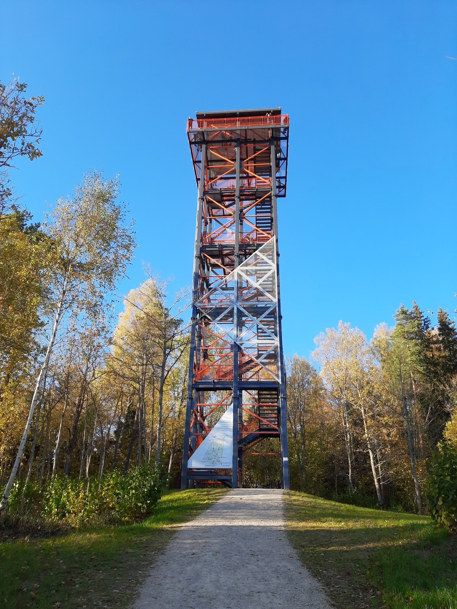
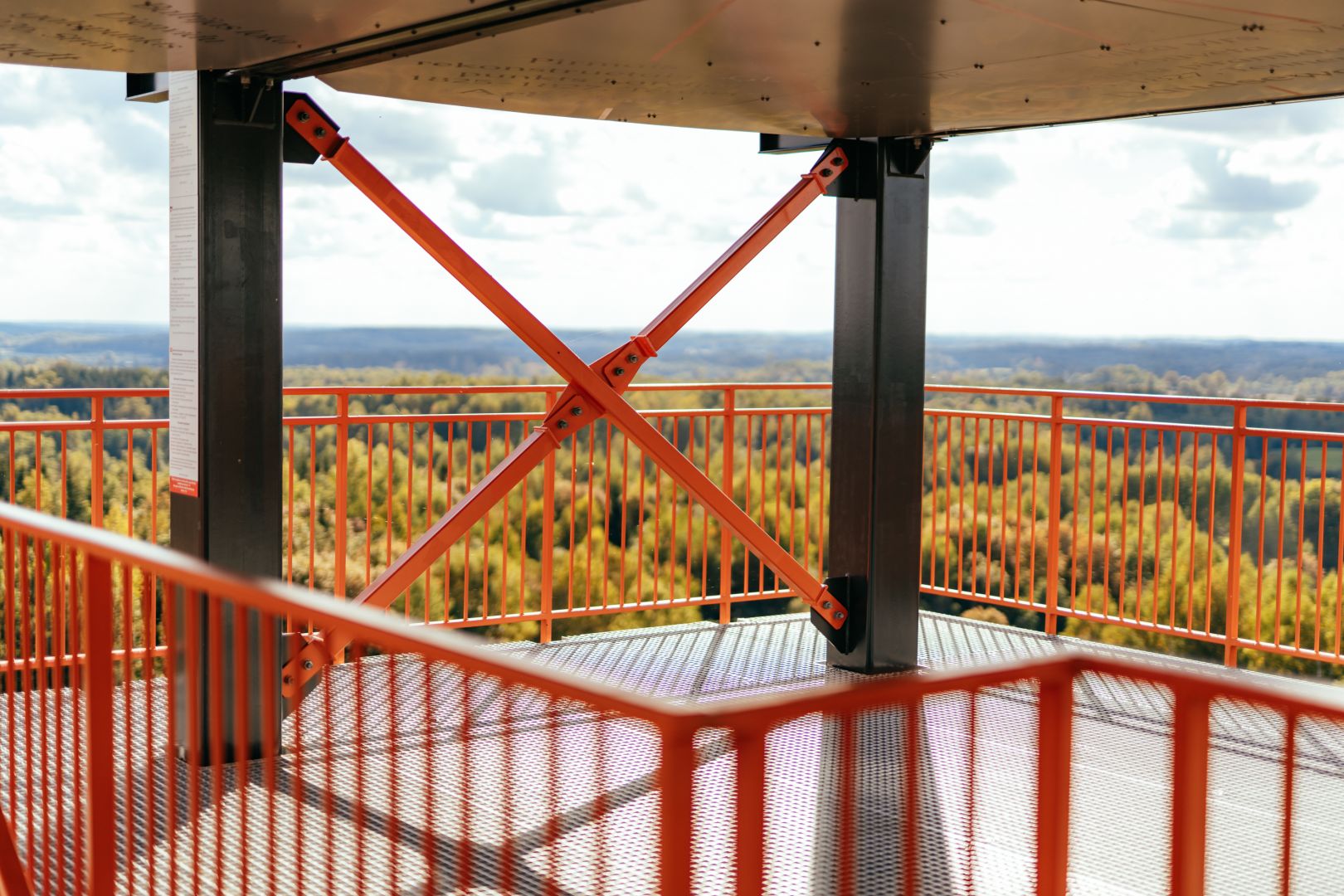
The construction of the Taborkalns observation tower and the improvement of the territory were completed on June 21st 2021.
The purpose of the activity was to increase accessibility of the station point “Daborkalns” and improve attractiveness of the Struve site for the use of cognitive and nature tourism purposes.
The station point is situated in a forest landed property, before reconstruction works there was no access (road) to the point of Struve Geodetic Arc – Daborkalns, the area around the point was not arranged and was not attractive to the tourists.
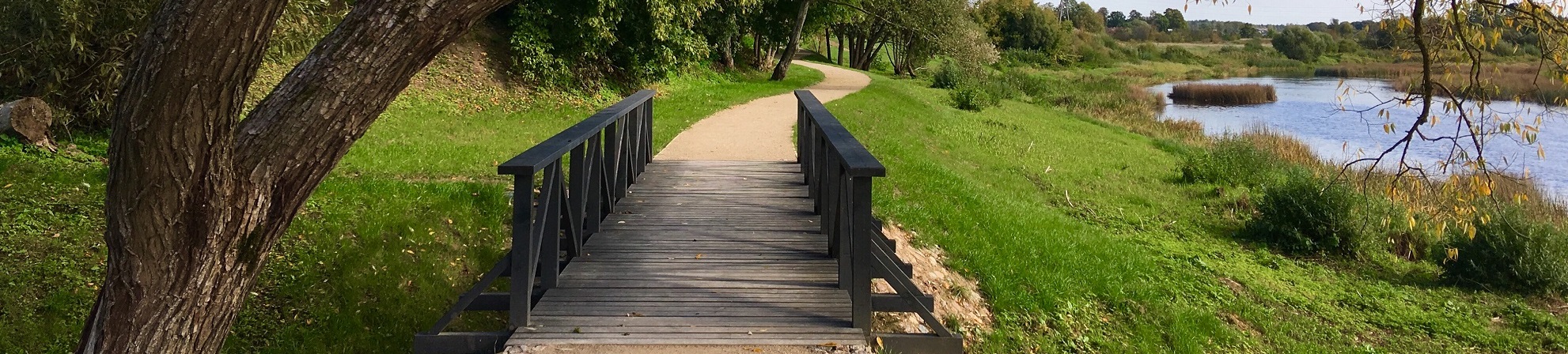
To achieve the project goals and results, the following were done: an entrance to the plot of land from the existing municipal road done; car parking lot of 325 m2 at the foot of Taborkalns builded; installed 2 pcs. benches, 1 stand and 2 pcs. waste bins; public WC with environmental access builded, pedestrian path 184 m long from the parking lot and up to the point of the Geodetic Arc, a bridge for pedestrians; construction of the observation deck’s platform – the altitude mark of the observation platform is +28.050 m; observation platforms has different levels. On the first floor of the deck informative stands with information about the Struve Geodetic Arc are placed, historical significance.
Last updated: 26.06.2024 15:10