-

Bringing neighbours closer
Welcome to the Interreg V-A Latvia–Lithuania Programme 2014–2020!
About the programme -

-

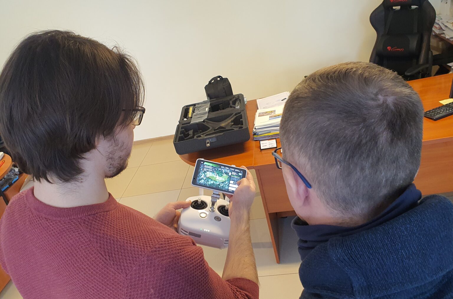
LEI Hydrology Laboratory has purchased a drone for aerial mapping work
15 March 2021
Hydromorphological research can be performed in a variety of ways. Assessment of river sections can also be performed with modern aerial vehicles – drones. Therefore, in order to optimize and accelerate hydromorphological research in the Varduva River, within the framework of the TRANSWAT project, a drone was purchased for aerial mapping works. On March 8-9, TRANSWAT project experts Vytautas Akstinas and Darius Jakimavičius participated in a two-day training session, during which they were introduced to the basics of drone control, flight planning and processing of collected visual material, as well as tested the acquired theoretical knowledge in practice.

Last updated: 26.06.2024 15:10
