Reconstruction of the Struve geodetic arc infrastructure in Storiai, Anyksciu
05 March 2024
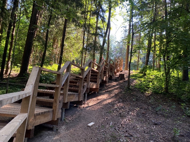
Directorate of Aukštaitija Protected Areas finished installation of a trail to Storiai geodetic point on May 2023.
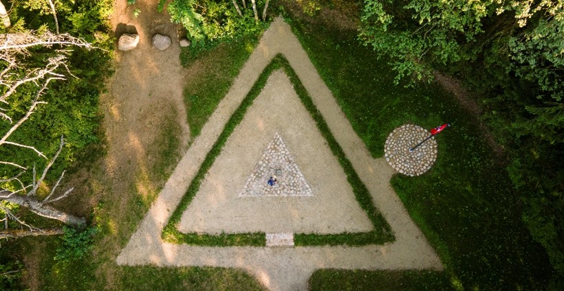
The location of the Struvė Geodetic arc in Anykščiai district is on the Storiai hill. Storiai hills are a group of four hills, the height of the highest hill – 197 m above sea level. It is the highest location in Anykščiai district. Before project there was no infrastructure adopted to reach this place. So, to arrange this place for the visitors, the reconstruction works were done:
– a new trail, Cognitive Path, to the top of Storiai hill has been made, for about 1 km long through the meadow, wetland and forest. By traveling through the Cognitive Path, the meaning was to reveal the stages, complexity, importance and unique of the Struvė Geodetic arc measurement.
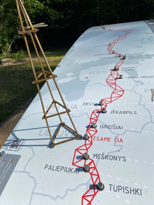
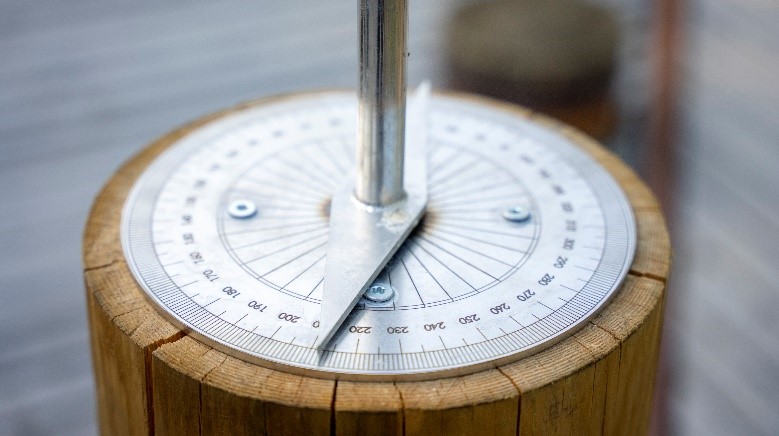
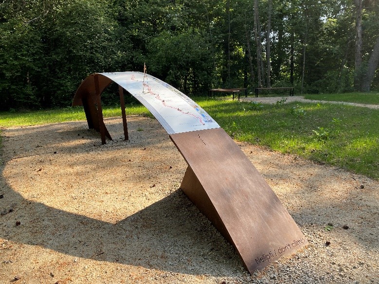
More on the history, importance and measurement technology of the Struve Geodetic Arc get acquainted with information on the stands. They are arranged at each stage, distinguishing their descriptions, and more information is provided at the arrival site and at the hill and at the point of the triangulation chain.
Last updated: 26.06.2024 15:10